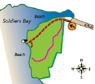
 The story so far : Jean and Alan went for a walk in the Kauri Point Domain, and found a path they hadn't tried before. It was deemed not at all bad, so we included it in our records, and here it is again, on the right. Now read on ...
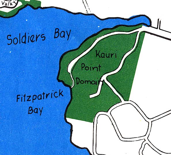 Shortly after our walk, I was sorting through some oddments we have acquired from time to time hoping to find reasons why I couldn't possibly throw them away, when I found a map. I can't remember how we acquired it, but it was organised ( it says ) by the Rotary Club of Northcote, so I shall call it the "Rotary Map".
The track marked is gratifyingly close to my guess, which is nice.
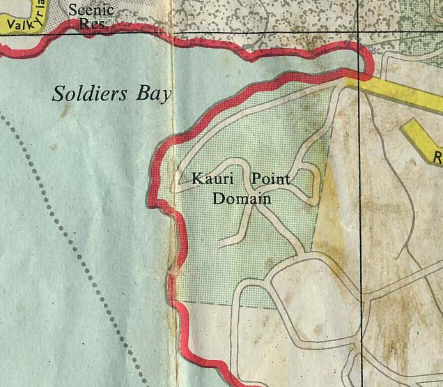 But when I put the map away ( having very clearly found a reason to keep it ) I found another map. This comes from Higher Authority, namely the Department of Lands and Survey. It's dated 1970. And, lo, the track was there again, but this time with more.
What sort of tracks are they ? There's no definition on the map, but the same style is used for the roads on Mount Victoria and North Head, which implies narrow surfaced roads.
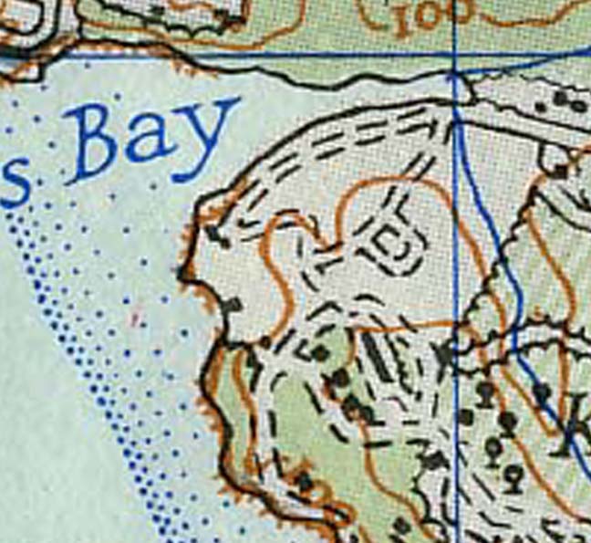 And than there's always the good old Lands&Survey 1" maps. ( NOTE for young people : '1"' means "one inch", and the maps are so called because the scale is one inch to the mile, or 1:63,360. ) This is from the 3rd Edition, 1966. It was ( it says ) somewhat revised in 1971, but I guess that this bit comes from 1966, as there's no indication of the Kauri Point Domain boundaries as found on the ( 1970, and also Lands and Survey ) map above.
These are identified as unmetalled unfenced roads - they're distinguished from tracks, which are shown narrower.